Most American cities and towns have some version of a trail system. It might be a paved path along a river, a rail trail through the edge of town, or a loop through a park. In isolation, each of these paths is a pleasant place to walk, jog, or bike. But pleasantness alone does not make a trail network useful. A useful trail network is one that people depend on for daily life, not just weekend recreation. The difference between those two outcomes is almost entirely a matter of connectivity.
A trail that starts at a trailhead parking lot and ends at another trailhead parking lot is a recreational amenity. A trail that connects a neighborhood to a school, a downtown, and a transit stop is infrastructure. Most communities have the first kind. Very few have the second. Understanding what it takes to close that gap is essential for anyone who cares about making trails actually matter in daily community life.
The Connectivity Problem
The fundamental issue with most trail systems is that they were built as standalone projects. A city gets a grant to build a rail trail. A park district installs a loop path. A developer includes a trail segment as part of a subdivision. Each project makes sense on its own terms, but nobody is responsible for connecting them into a coherent network.
The result is a fragmented system. You can bike on the river trail for three miles, but to get from the trail to the grocery store, you have to ride on a road with no shoulders. A family can walk to the park on the neighborhood path, but to reach the library they have to cross a four-lane arterial at an unmarked crossing. The trail itself is well-designed. The connections between the trail and everything else are missing.
This is the primary reason trail systems in most communities serve a narrow slice of the population. People who are young, fit, and comfortable navigating traffic will use a fragmented trail system. Everyone else, including children, older adults, and people who simply prefer not to share space with cars, will drive instead.
What Connectivity Actually Requires
Building a connected trail network is not as complicated as it sounds, but it does require a different way of thinking. Instead of starting with the trail and asking where it should go, you start with the destinations and ask how people should get between them.
The Rails-to-Trails Conservancy has studied this question extensively and identifies several factors that separate functional trail networks from collections of disconnected paths. The most important ones are worth examining in plain terms.
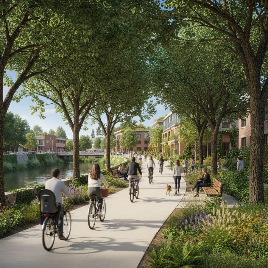
Direct routes between destinations. A useful trail connects places people actually need to go. Schools, commercial districts, employment centers, transit stops, parks, and residential neighborhoods are the anchors. A trail that connects a park to another park is nice. A trail that connects a neighborhood to a downtown is transformative. The Minuteman Bikeway in the Boston suburbs succeeds in part because it links several town centers. People use it for commuting, errands, and school trips, not just exercise.
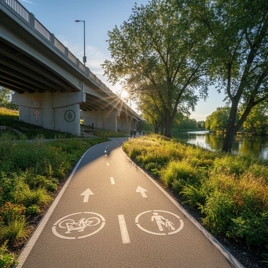
Safe crossings at every road intersection. A trail that requires users to cross a busy road without a signal, a crosswalk, or a refuge island is a trail with a wall in the middle of it. The crossing is where the network breaks. This is the single most common failure point in American trail systems, and it is almost always fixable. Grade-separated crossings (bridges or underpasses) are ideal but expensive. Signalized crossings, raised crosswalks, and rectangular rapid flashing beacons are all effective and relatively affordable.
Consistent surface and width. A trail that alternates between smooth asphalt and rough gravel, or narrows from 10 feet to 4 feet at random points, sends a message that it is not a serious piece of infrastructure. The surface should be appropriate for the intended users and should not change without reason.
Wayfinding that assumes unfamiliarity. Regular users of a trail know where it goes. Everyone else does not. Simple, clear signage at every intersection, indicating distances to key destinations, makes a trail usable by people encountering it for the first time. You should be able to figure out how to get where you are going without prior knowledge.
Lessons from Networks That Work
A few trail networks in the United States illustrate what becomes possible when connectivity is the organizing principle.
The Boise River Greenbelt in Idaho is a 25-mile paved path along the Boise River that connects parks, downtown Boise, Boise State University, and multiple residential neighborhoods. It functions as both a recreational trail and a commuting corridor because it links places people need to go, not just places that happen to be along the river.
The Razorback Greenway in northwest Arkansas links Fayetteville, Springdale, Rogers, and Bentonville along a 36-mile corridor. It was designed as a transportation spine, not just a bike path. The network effect is visible in usage data: trail counts are highest near employment centers, not at scenic overlooks.
The Last-Mile Problem
Even well-designed trail networks face what transit planners call the last-mile problem. A person might live a quarter mile from a trail that would take them directly to work, but if that quarter mile includes a highway on-ramp or a parking lot with no sidewalk, the trail might as well not exist.
Solving this means investing in short connecting paths, sidewalks, and neighborhood links that bring people from their front doors to the trail. These are not glamorous projects. But they are what turn a trail from an amenity into a network. This is closely related to how streetscape design shapes whether people choose to walk in the first place.
Some communities handle this through their subdivision regulations, requiring new developments to include trail connections. Others retrofit connections through small capital projects. Either approach works. What does not work is building a trail and assuming people will find their own way to it.
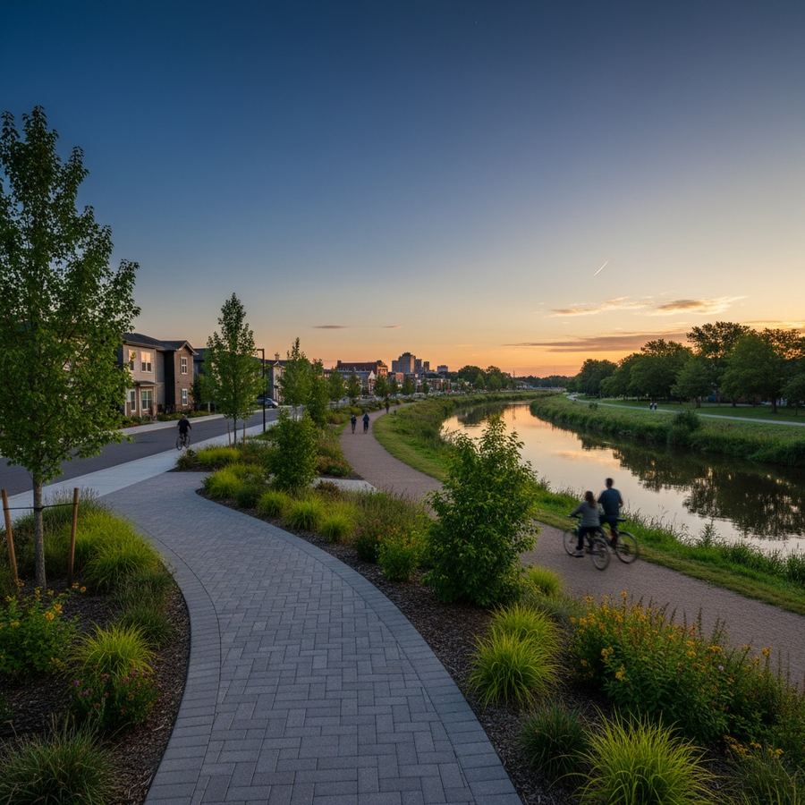
The evaluation criteria for a trail system should reflect how people actually use it. If usage is concentrated on weekends and drops off during the workweek, the trail is functioning as recreation. If usage is steady throughout the week, with peaks during commuting hours, the trail is functioning as infrastructure. Both are valuable. But a community that wants its trail investment to deliver transportation, health, economic, and equity benefits needs the second pattern.
Building Toward a Network
Most communities will not build a complete trail network in a single project. The realistic path is incremental. The key is to make each increment additive. Every new trail segment should connect to something that already exists. Every new crossing improvement should close a gap. Every new trailhead should be located where it provides access to people who do not currently have it.
This sounds obvious, but it requires a plan. A trail master plan that maps the desired network, identifies the gaps, and prioritizes connections over extensions is the single most important tool a community can have. Without it, trail projects tend to follow the path of least resistance, going where the land is cheapest and the politics are easiest rather than where the connections are most needed.
A trail is a line on the ground. A trail network is a system of connected lines that changes how people move through a community. The difference between the two is not a matter of scale. It is a matter of intent. The trails already built in most places represent a significant public investment. The question now is whether the next investments will connect what exists into something greater, or simply add more disconnected segments to the map. The answer depends on whether anyone is thinking about the network as a whole.